
Cappy
|
Welcome to another edition of The World According to Sunshine Brought to you by Intense Effort |
|
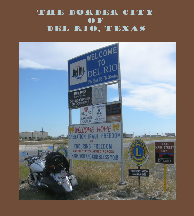
A friend asked if I had any pix of Del Rio, Texas. I had been to Laredo, Eagle Pass and Langtry, which surrounds Del Rio, but I had never been to Del Rio, Texas. It sounded like an excuse to me. I was in Water Valley – I loaded up Amana, packing a tripod, water and a full gas can, for a Ride-About to Del Rio. Come on! I'll give you an idea of what it is like to ride to and through Del Rio. |
Del Rio 2010 |
|
|
|
Your Rambling, Traveling Correspondant Cappy |
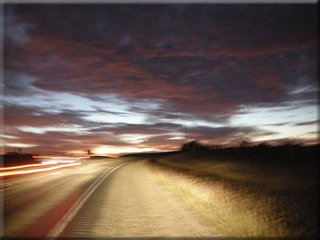
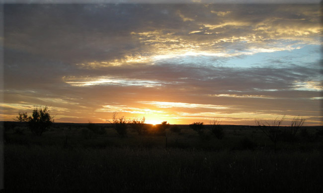
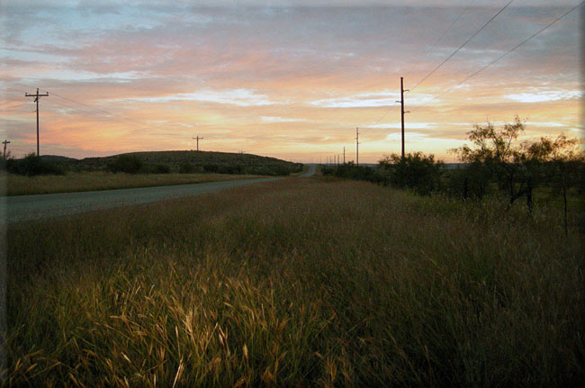
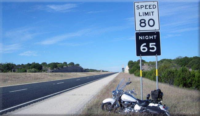
| I rose early and was out of my campsite before dawn. It was a pleasantly cool morning. My leathers were sufficient to keep me comfortably warm. I pointed Amana towards Sterling City where I made a hard left onto FM-163. |
|
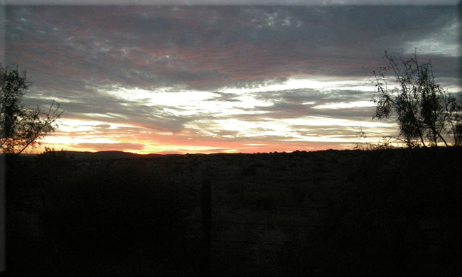
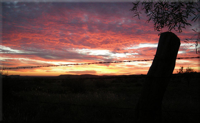
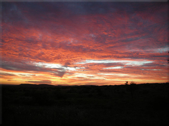
As my eyes perceived the lightening of the sky as I scurried toward the open prairie with hopes of seeing a beautiful, |
AFTER A NIGHT OF PARTYING WITH THE T-TWISTERS
|
|
|
|
| |
|
|
As ecstasy waned, my eyes once again focused on the road south. It was fun, I enjoyed it... gotta go. |
| NEXT STOP |
|
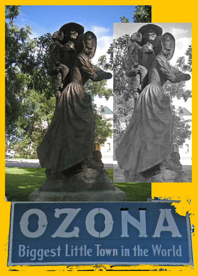
| Crockett County |
|
|
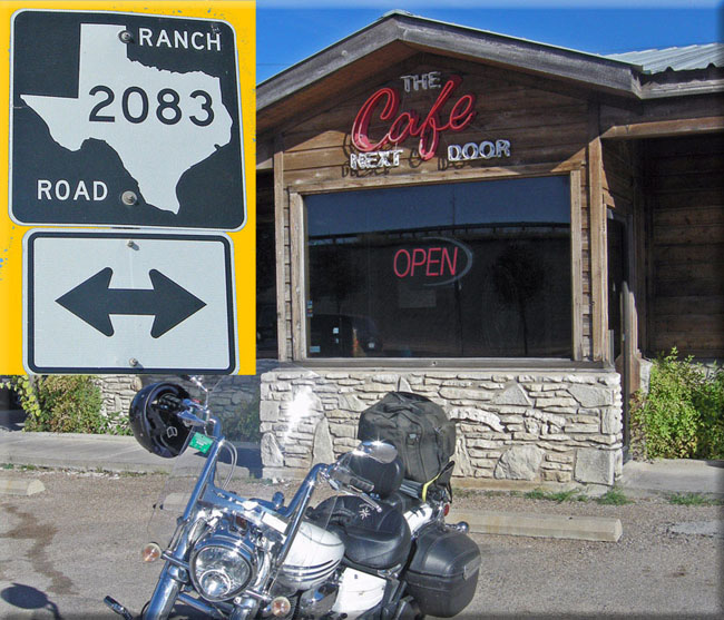
Search for FM-2083; but first - breakfast. Huevos Rancheros |
|
|
I-10
Looking West |
| |
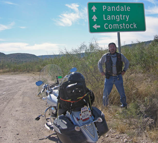
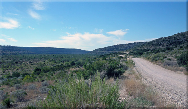
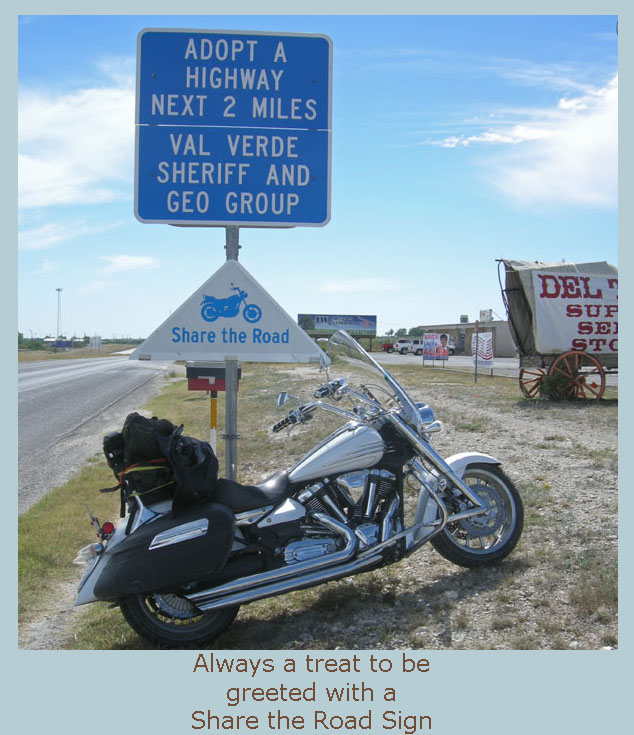
| I had an adventurous ride down to Del Rio. I took a couple of FM Roads I had wanted to ride for some time. This led me to a great dirt road where I met a friendly Border Patrol Officer. |
|
| Crockett County Line Road |
ON THE BORDER
 |
|
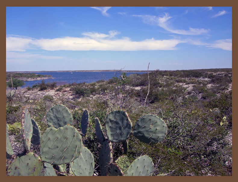
Amistad is quite the recreation area. I saw this body of water as I came into Del Rio from the west. I did not see any boats out on the south side but there were a few on the north side, not as many as I would expect on a beautiful Saturday afternoon. Many say it is not safe to be on the water as the members of the Mexican drug cartel may use you as target practice. It is a shame as the Parque Natural La Amistad, Presta la Amistad, Amistad N.R.A., International Amistad Reservoir and Armistad National Recreation Area are the prime attractions to the area. About dot com Link N.R.A. Link We're almost there — Let's go on into town. |
 |
| |
| Ya' gotta loved it! |
| A RIDE THROUGH IT |
|
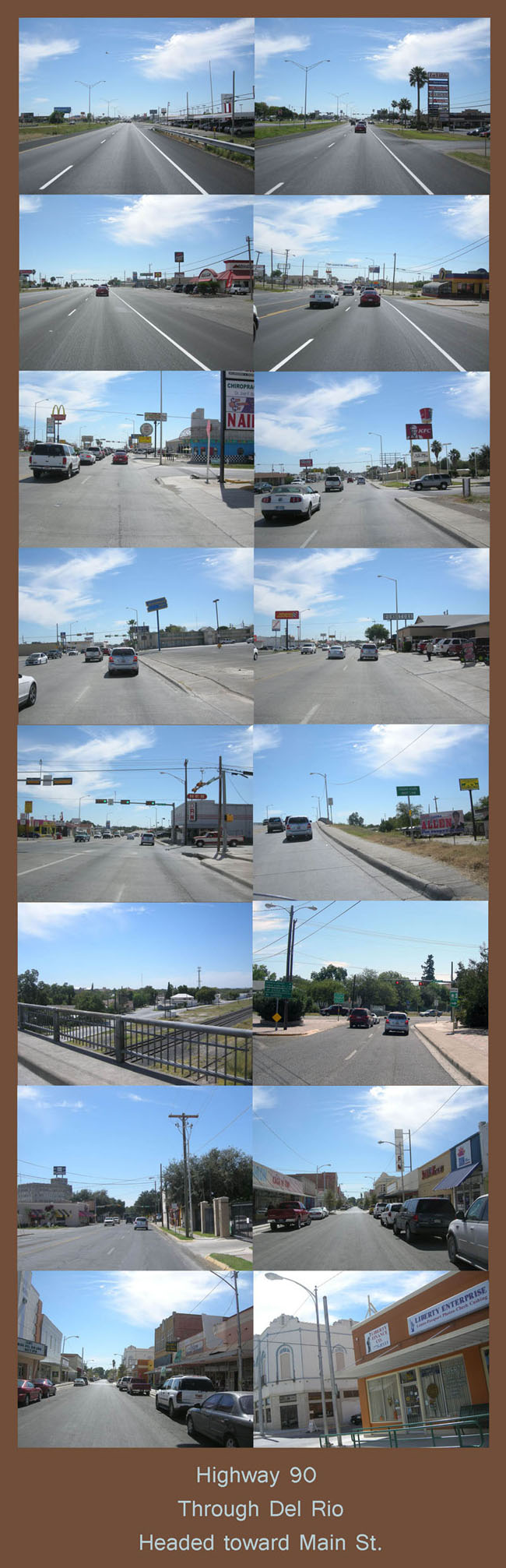
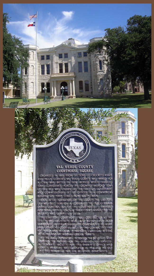
| Eastward bound on US-90, you will merge with US-277, at the Armistad National Recreation Area. As you can see by the previous pictures, this route is pretty much like any other U.S. city. Basically the same business chains line the main artery through town, as you'd expect in San Diego, Denver, Seattle or just about anywhere else you can think of. You don't see what makes Del Rio, Del Rio, until you get off the main drag. I did just that, by taking Pecan Street, crossing Cactus Street and entering S. Main Street. I must to tell you, I was following my instincts, I had no idea where I was going. |
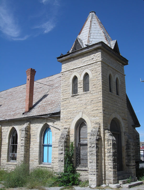 |
| I did pass some interesting old buildings like this abandoned church. |
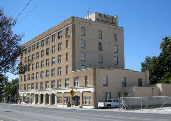 |
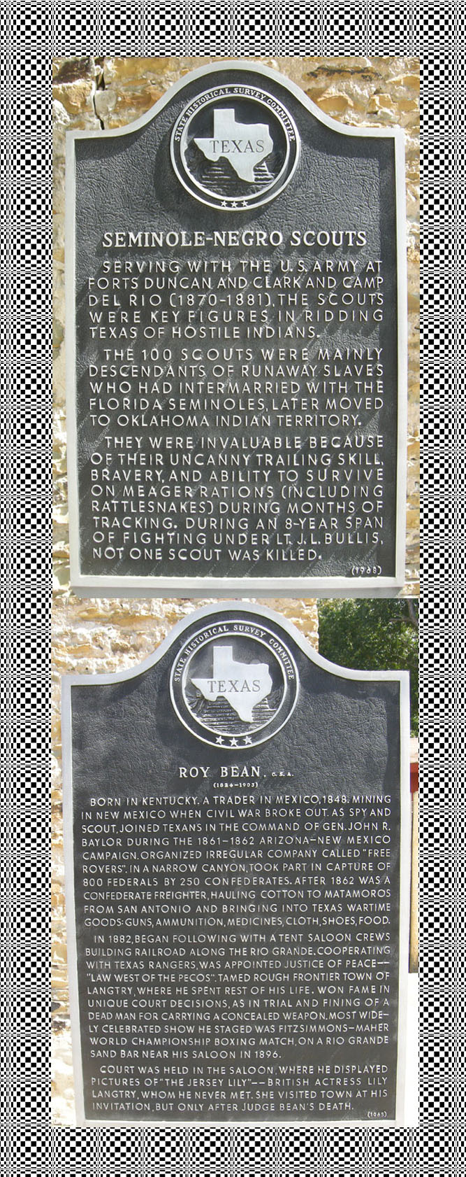
| "In 1942, the Army Air Corps opened Laughlin Field nine miles (14 km) east of Del Rio as a training base for the Martin B-26, but it was deactivated in 1945. As the Cold War pressures built, Laughlin Field was rebuilt and renamed Laughlin Air Force Base (LAFB). It was again used as a home for flying training. In the mid-1950s, the Strategic Air Command (SAC) noted Laughlin's remoteness that allowed for secret operations, and opened its strategic reconnaissance program there with the RB-57, a bomber modified for high altitude reconnaissance. SAC soon transitioned to the high altitude U-2 Dragonlady and based all of them in Laughlin AFB. In 1962, it was Laughlin-based U-2s that took the first photographs of land-based nuclear missile (Medium Range Ballistic Missiles, or MRBMs) sites being constructed in Cuba. This was the photo intelligence that started the Cuban Missile Crisis. The U-2s were relocated to Davis-Monthan AFB near Tucson, AZ in July 1963 and Laughlin's mission transitioned to the Undergraduate Pilot Training (UPT) mission in the T-37 and T-38 aircraft. Laughlin AFB also provides training in the T-1A Jayhawk and the T-6A Texan II. Laughlin plays a large part in the Del Rio community as the area's largest employer. The Border Patrol is the city's second largest employer (with two large stations along with the Sector Headquarters). At one time Del Rio was in the running to become the home of the Federal Law Enforcement Training Center (FLETC), for the United States Border Patrol Agents and U.S. Air Marshals only to lose out to the current site in Artesia, New Mexico. Politics played a major role in the decesion [sic]. The site for the academy was going to be within property belonging to Laughlin AFB. Since the Air Force has military installation with unuse property, They (AFB) are leasing land to other Federal Law Enforcement agencies for such projects. This benefits Laughlin AFB and the City of Del Rio, Texas both financially and economically. Del Rio will be home to an FBI regional headquarter's office, Del Rio was one of 5 cities in the United States selected to have such offices, The building is currently under construction adjacent to the Roswell Hotel in downtown Del Rio and will be ready by 2011." |
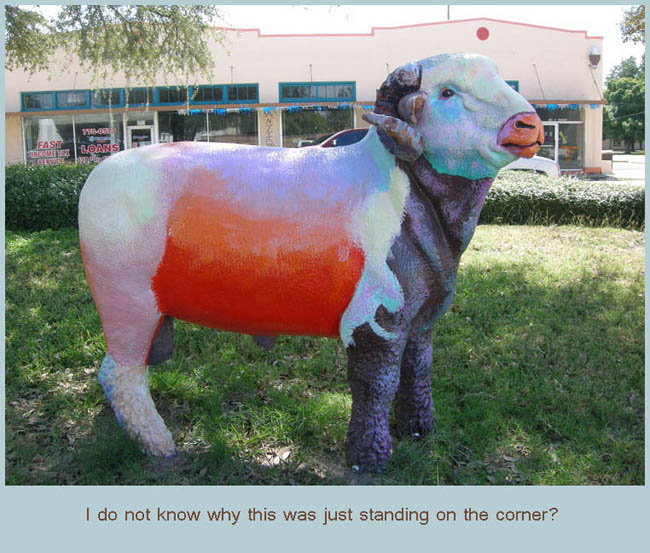 | |
| Consider this your basic "comic relief" |
|
|
|
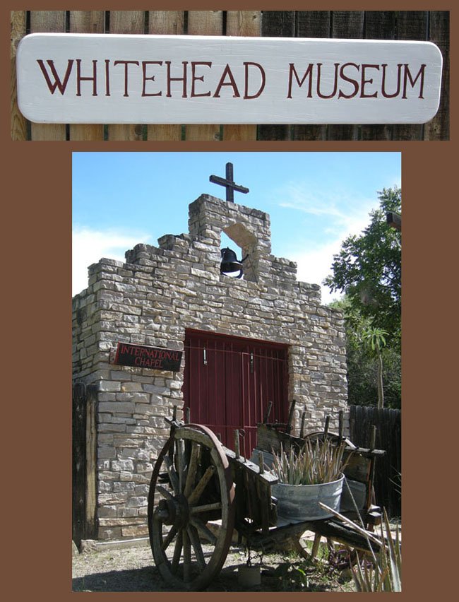
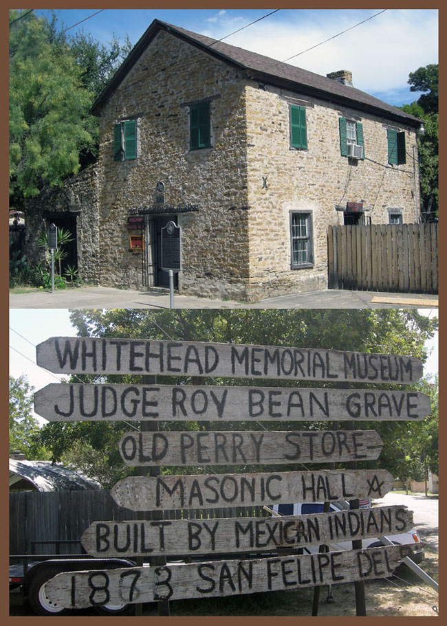
My good friend, Dozer, suggested a museum where Judge Roy Bean was buried. He told me about all the great history and what a wonderful time he had jawing away with the proprietor. When you visit Del Rio, drop in, it is a great place to spend a couple of hours. |
|
 | |
| What a wonderful trip this turned out to be. I felt perfectly safe and saw so many wonderful sights. No matter which route you take I know you will enjoy a trip to the border town of Del Rio. |
|
Thanks so much for joining me on my little Ride-About |
|
To get the Del Rio from my campsite in Water Valley: US-87 West FM-163 South to Ozona I-10 West FM-2083 South Crockett County Line Rd (Dirt Road) FM-1024 sort of South I-90 East |
 |
 |
| |